Project Information
- Category: Spatial Decision Support System
- Client: Open source
- Project date:Since 2020
- Project URL: www.riskchanges.org
Project Description
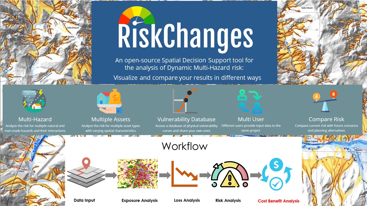
RiskChanges aim to analyse multi-hazard risk in risk-prone area. The tool includes several major features: multi-hazard, multiple assets, vulnerability database, multi-user, compare risk and spatial analysis. The multi-hazard feature performs the risk assessment for multiple natural and manmade hazards. This project is implemented by the Faculty of Geo-Information Science and Earth Observation of the University of Twente (UT-ITC) of the Netherlands and the Geoinformatics Center of the Asian Institute of Technology (AIT-GIC).


