Project Information
- Category: Agriculture/Environment
- Client: FAO
- Project date: 2022-2023
Project Description
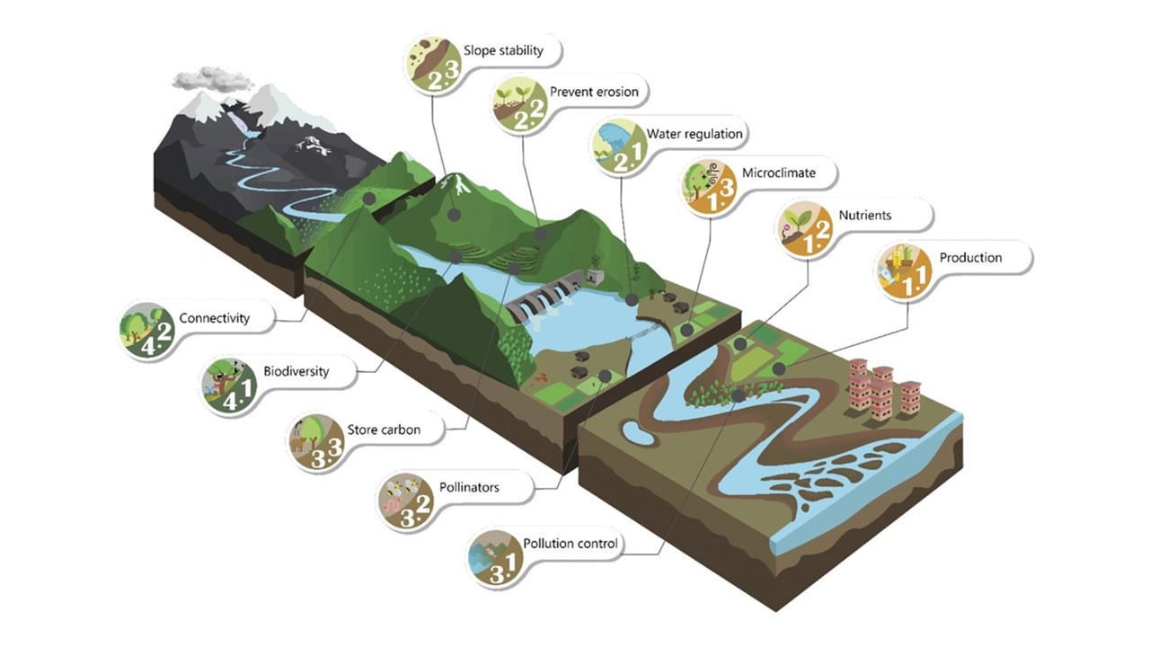
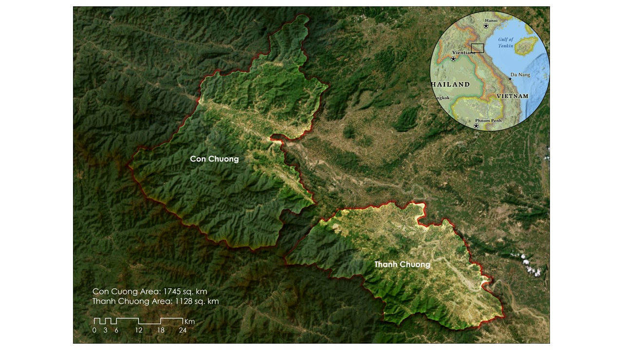
The project was titled as Preparation and Visualization of Geospatial Indicators Relevant to Identification, Planning and Monitoring of Nature Based Solutions (NBS) in the Agricultural Landscape. It was commissioned by Food and Agricultural Organization of UN (FAO). The main objective of this project is to support the development of geospatial analysis tools to support diagnostic assessments and visualization to underpin NBS design processes (identification, planing and monitoring). In this project, we analysed and documented the approaches for assessing the indicators for application of NBS wherever possible in the agricultural landscape of two districts in Vietnam.


